
I have been studying on trails in Scotland trying to find the best balance between cool and tired. This has been a stressful year and like a lot of people when the stress piles up the exercise slows down. Of course, we know that stress makes it all the more important exercise because you need those stress healing hormones pumping through.
Nevertheless, my mind gets going it but my behind is still in the chair. Whatever we want to hike it will have to be less challenging than the types of trails we have in the past.
It is interesting to me how many “spoilers” there are for hiking these days. In the old days, say 50 years ago, you could look a trail up on a map if anyone had taken the time to hand draw it onto the original map before it was carefully printed. Nou can find 3D maps, colored maps, layered maps and all manner of maps. Then you have the fly-ins. A fly-in lets you literally fly over your trail at a variety of altitudes, even as if you were walking on the trail. Sometimes fly-ins are based on topographic maps. Other times they are based on real-life photographs. 
By the time you have all this information you might as well stay home. You know what is around that corner so you don’t have to be out saying, “I think there is just more more rise ad then we can quit.” You can count them on your fly-in, you can look for the waymarks in your GPS. 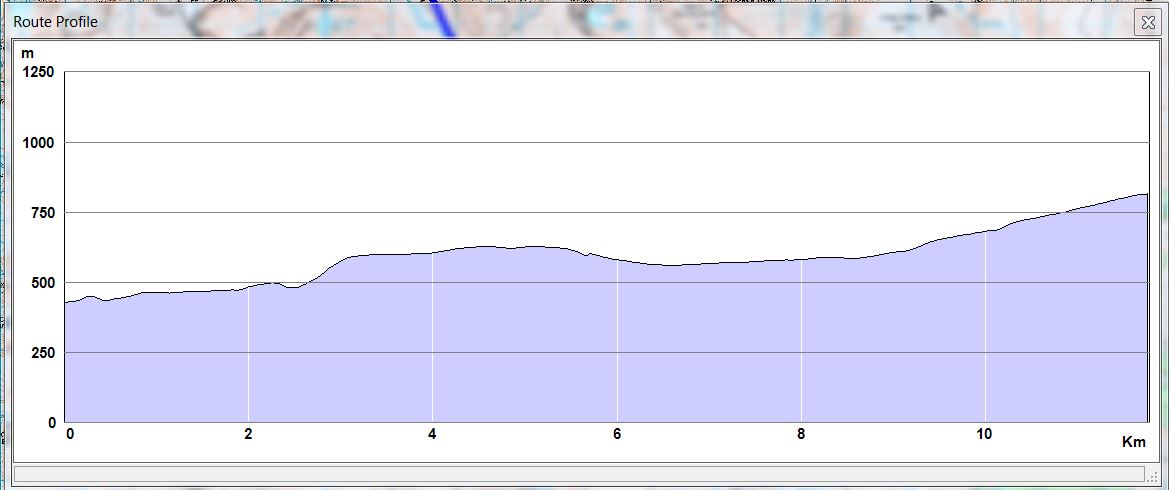
GPS is the most personally unsettling to me. It is such a great tool, and one that can greatly improve safety, that it feels silly to think a person should be able to do it their own rather than rely on a machine. I sound like a Luddite who think any technology challenges the balance of the universe. Technology is my friend, I actually like technology but in way finding confounds me.
When you set up the data for hiking a trail with GPS you enter points on the while trail that are reference points. They can be specific satellite points to pinpoint where you specifically are. They may refer to human-recognized waypoints like a particularly steep ascent. They may refer to “bog here” or to “phew, at last, we have lunch.”
Waymarks keep us on the path whether they are signposts on the trail or points measured by a satellite identifying the exact spot where the latitudes and longitudes we use to understand the earth, cross. If the guidebooks for the part of Scotland we are aiming to visit there are many well maintained “waymarked paths.”
It would be nice to have a trail like that. The way things are going right now we we are still looking for a path, waymarked or not. There are no spoilers for this trail, no 3D maps no fly-ins. We will have to keep walking, our eyes on the horizon calling out to each other, “Take courage, I think it is just over this next rise. Maybe it is here.” We will keep walking, we need the exercise and I am confident that even if the trail is not waymarked, we will find the path with or without a GPS.
